El Camino del Diablo

El Camino del Diablo - Day 3 - The Tinajas Altas, Lechuguilla Desert, and Yuma, AZ
I slept hard the duration of the night and awoke to an undisturbed campsite. No sooner had I had exited my shelter than a spit of fiery halo thrust up the eastern horizon as a coalbed of Sun rose through the rainy clouds that had once again gathered in the night. I stood shaking condensation off my body in desert-humid morning to watch the sunrise with full attention. As the sun's colors faded to the hazy-gray of shrouded morning, I walked over and climbed up the adjoining hill to investigate the small cairn tower memorial. I found a hodgepodge of granite and marble slabs commemorating various groups who undoubtedly helped contribute to the Cabeza Prieta in some way.

El Camino del Diablo - Day 2 - Crossing the Pinta Sands and Pinacate Lava Flow to Tule Well
With a fitful night's sleep came the steady patter of rain coinciding with wind-cessation around 5 in the morning. The front hunkered down over the desert casting down a pitter of water as 0.25 inches fell. I slept and re-awoke on repeat until the hooded dawn cast a pallor to distinguish day from night. Janna got up to go pee and reported that the rain was a drizzle at this point, choking off, and worse sounding on the fabric of the shelter. We climbed out of the shelter and found temperature 50 degree temps warm enough for shorts but wet enough for a rain jacket. Everyone spoke about the events of the night before resheltering under vestibules to eat morning breakfast. Janna and I walked down to Papago Well afterwards to fill up our hydration bladders. A mist of droplets obscured the mountains in the gray morning light.

El Camino del Diablo - Day 1 - Organ Pipe Cactus National Monument and Papago Well
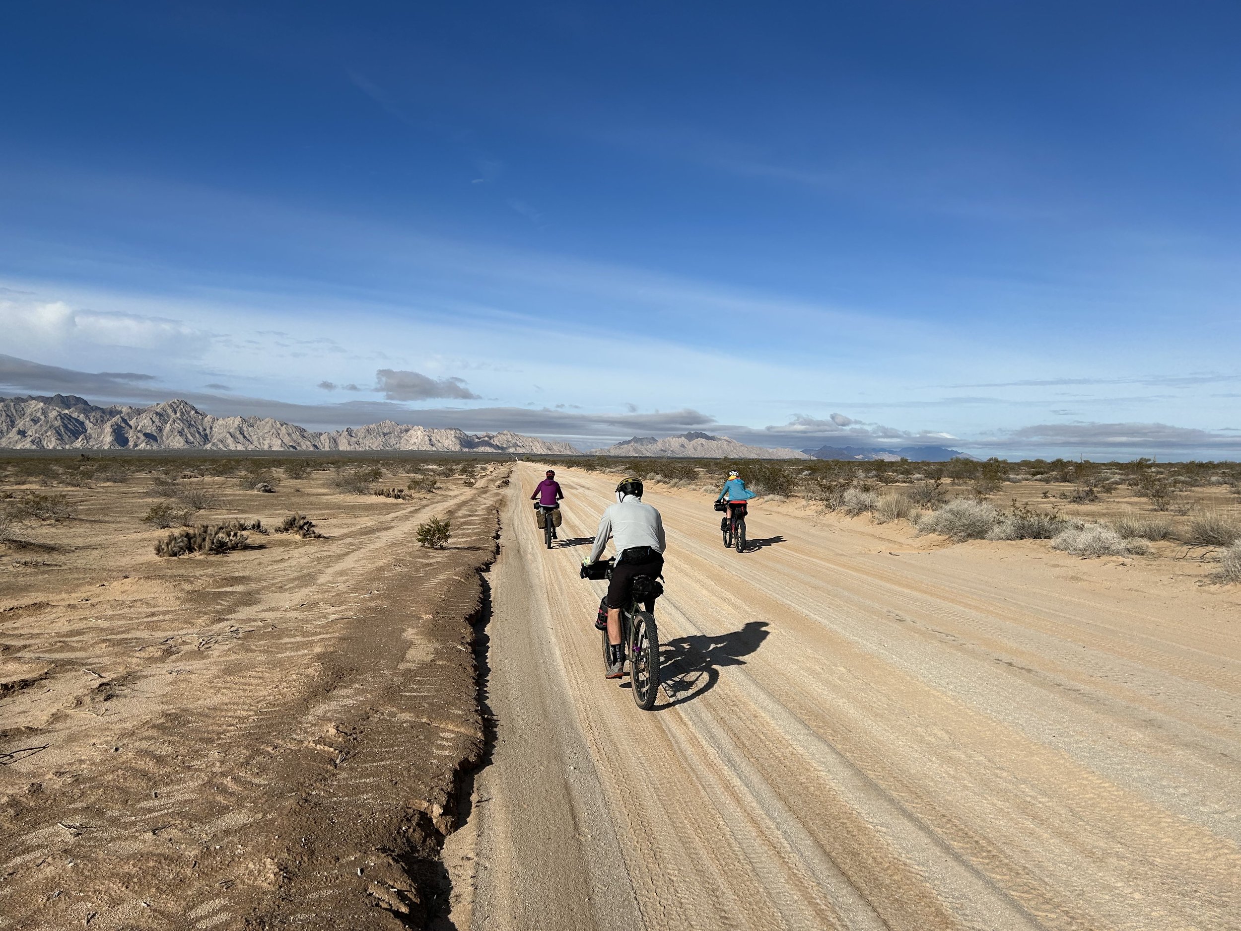
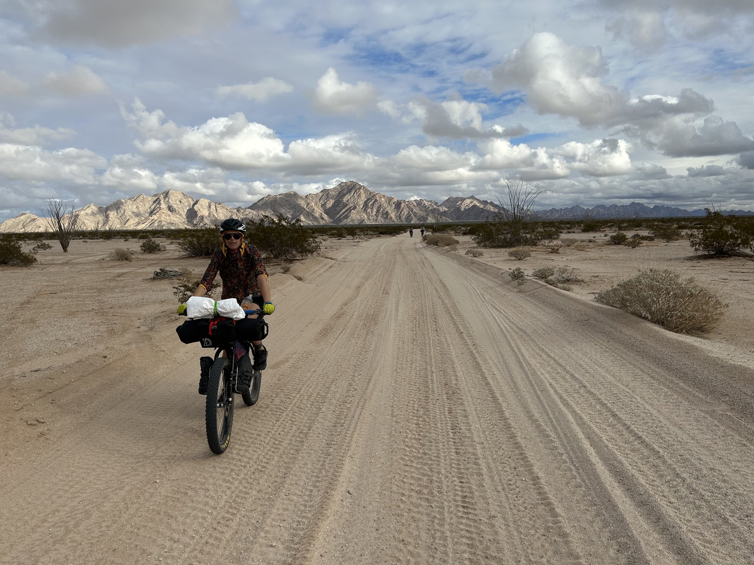
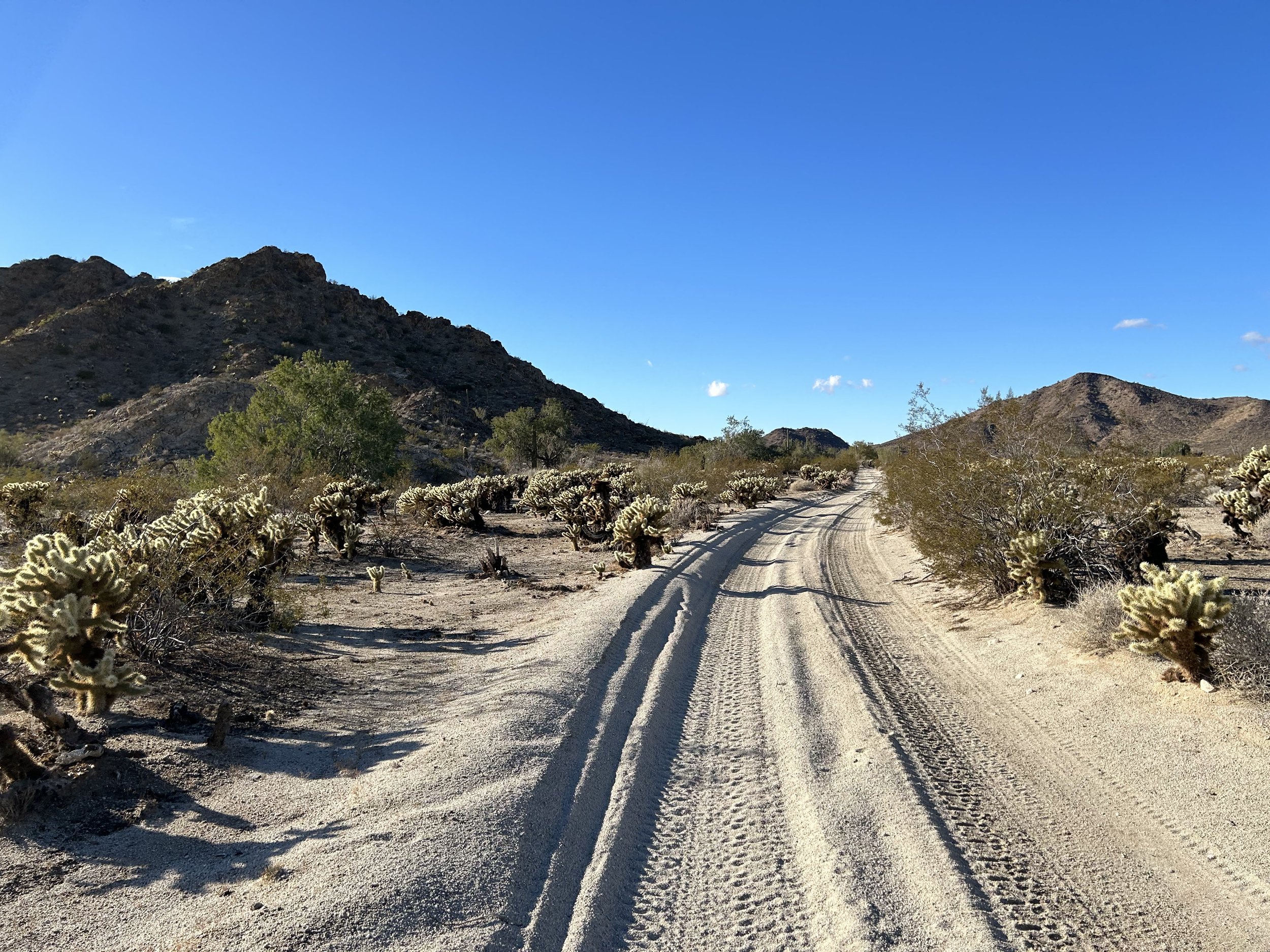
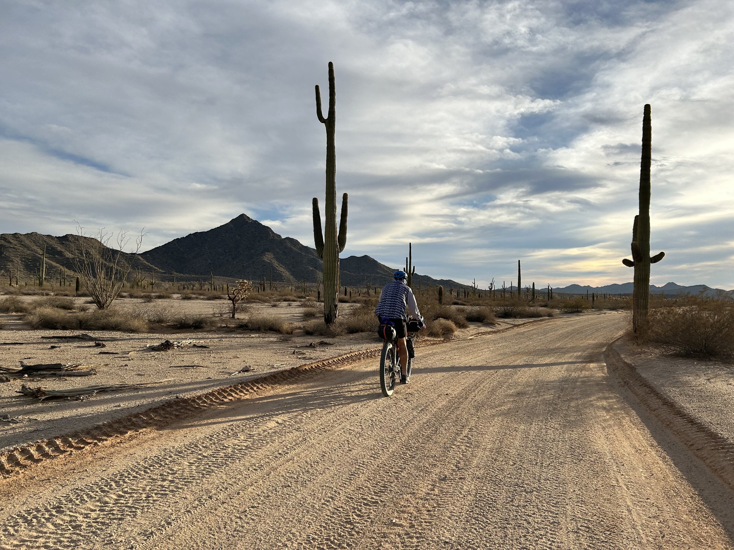
For five years this route has been on my mind. The El Camino del Diablo is a historical travel corridor that traditionally started in Sonora, Mexico and extended to Yuma, Arizona. The Devil's Highway has been and still is a remote swath of Sonoran Desert, undeveloped, and miles from any paved highways or towns. Contemporarily, it extends from just southwest of Ajo, AZ to Yuma, AZ. It's traveled predominately by people recreating by overlanding, Border Patrol, or immigrants heading north. A few years back, Bikepacking.com posted the El Camino del Diablo Bikepacking Route which follows the current route save for a stint at the end that winds up and through the Gila Mountains by Fortuna Mine before making its way into southeast Yuma. Janna and I have wanted to ride it for years, but (a) conditions haven't been excellent over some of our winter breaks, (b) we couldn't find anyone to join us, and (c) we were tied up with other obligations.